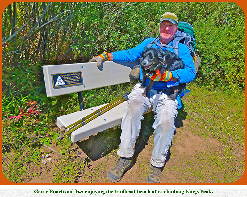
State Highpoints – Utah - 13,528-foot Kings Peak
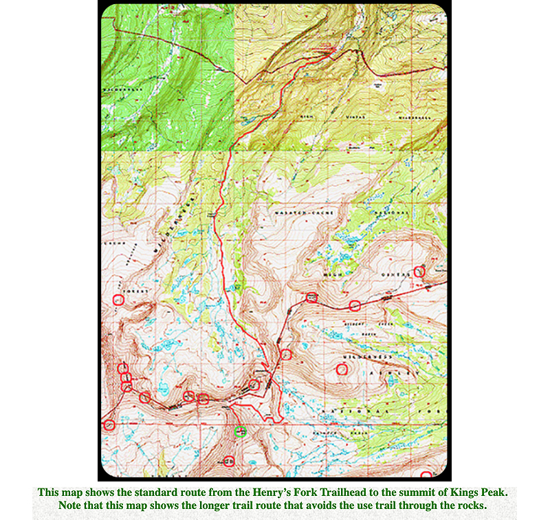
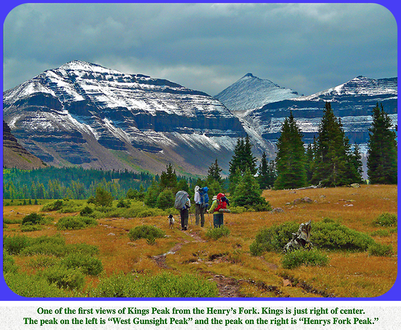
Utah’s highest peak and the seventh highest US state summit, 13,528-foot Kings Peak, is a remote peak in the heart of the
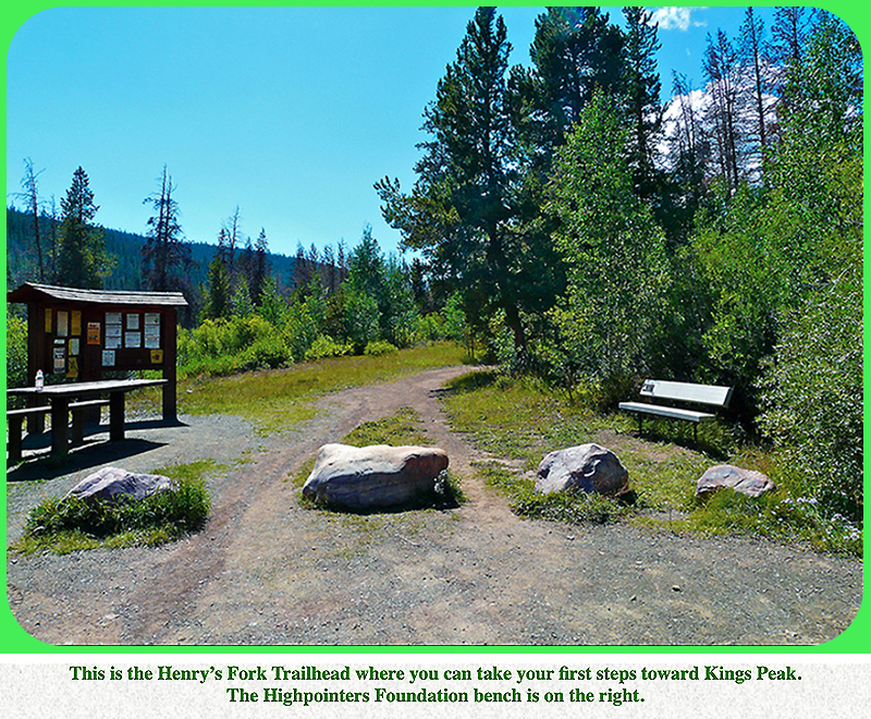
Uintas in northeast Utah. The summit of Kings is about 10 miles from the standard Henry’s Fork Trailhead at 9,420 feet,
and most peak baggers do a backpack for this summit, however the ultra fit have done the peak in a day.
The vertical gain from the Henry’s Fork Trailhead to Kings’ summit is 4,110 feet,
which is less than other higher state summits.
One advantage of a backpack, is that you can climb many other peaks that surround Kings.
In modern times, and on a summer holiday weekend, the area can be quite crowded.
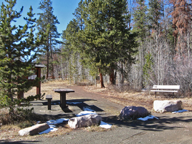
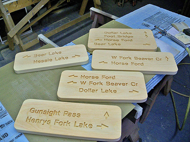
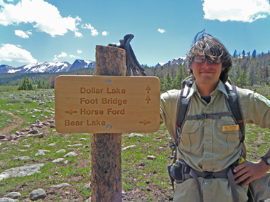
There is a trail most of the way, and people place their high camp from Dollar Lake at 10,785 feet
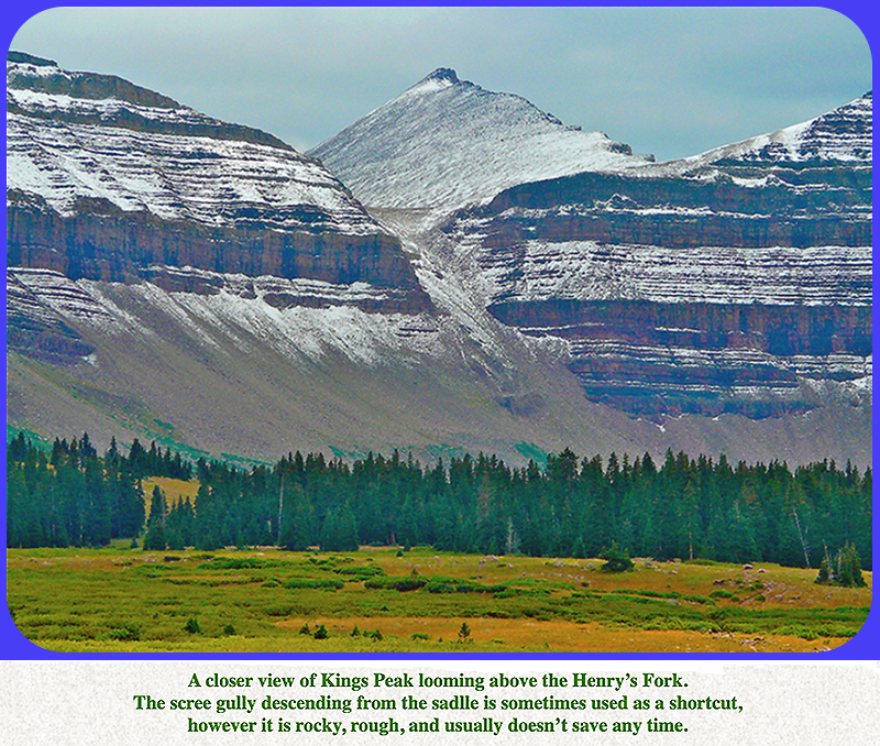
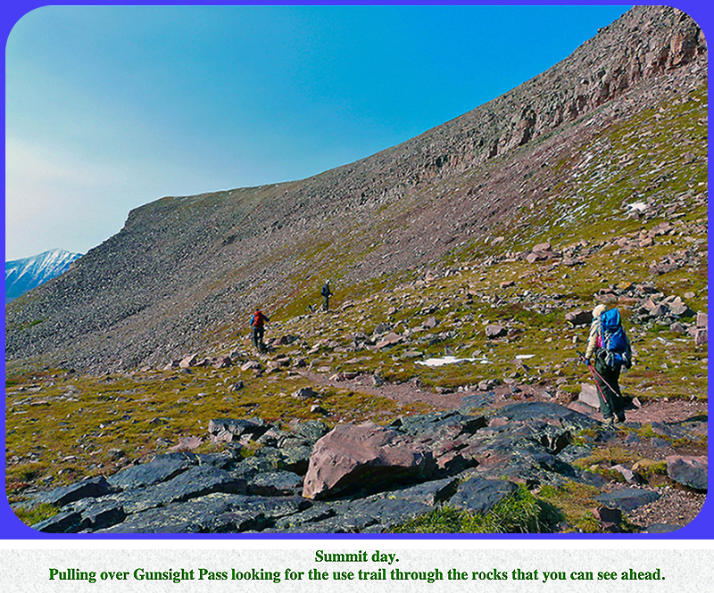
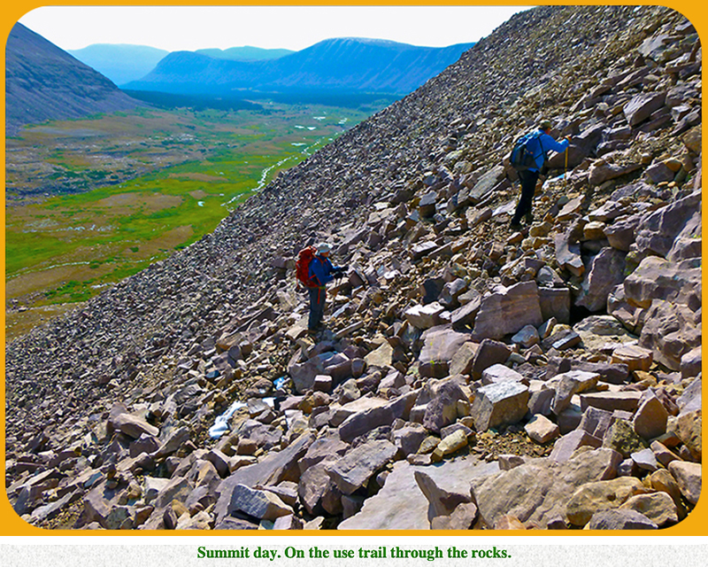
on up into the basin near 11,000 feet. The route from there to the summit follows the trail to Gunsight Pass at 11,888 feet,
then follows a sometimes vague use trail up through some rocky ledges to reach a large talus field.
You can also stick to the trail, descend a little, and circumvent the rocks.
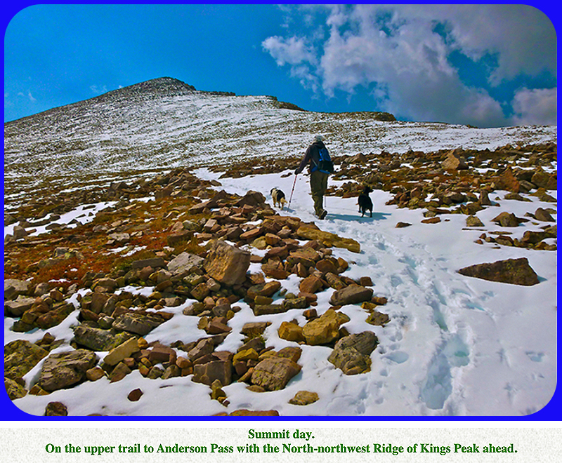
Either way, hike west along a trail through talus to reach Anderson Pass at 12,700 feet.
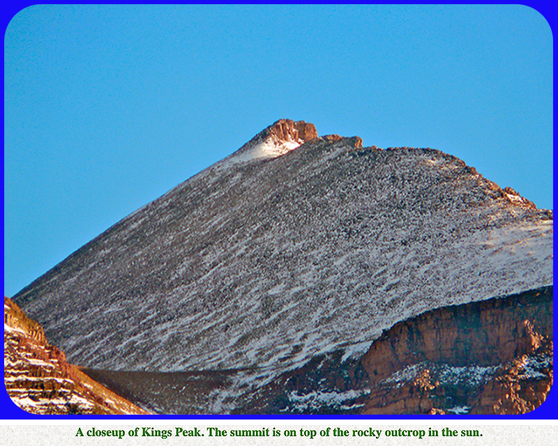
You are now on the North-northwest Ridge of Kings Peak.
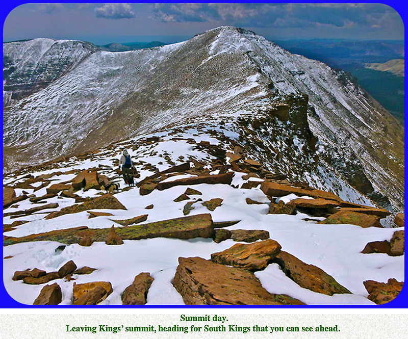
Turn south and follow this ridge to the summit. The Class 2 hike up this rocky ridge fools some people, because there are
several false summits along the way. On the summit, you will have expansive views of the Uinta mountains in every direction,
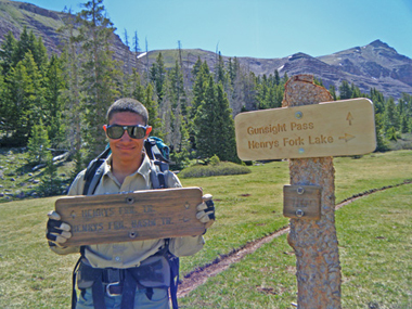
and you can study many other attractive peaks. If you are fit, and a bit fanatical, you can trek another 0.8 mile south-southwest
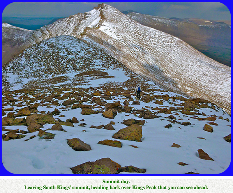
to reach 13,512-foot South Kings Peak. In the past, this summit was considered to be the highest peak in Utah, but with modern
measurements, we know that it is only the second highest. However, South Kings still clings to the title of a former state summit.
You can also reach South Kings, and hence Kings, from the Swift Creek Trailhead to the south at 8,100 feet, but this requires
more miles and elevation gain. Like most Rocky Mountain peaks, summer thunder storms are common. Start early.
|