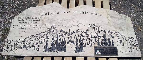
State Highpoints South Dakota - 7,242-foot Black Elk Peak
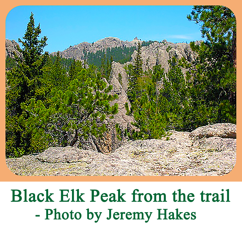
South Dakota’s highest peak and the 15th highest US state summit, 7,242-foot Black Elk Peak, is located in southwest South Dakota in the Black Hills. Black Elk Peak is the highest peak in Pennington County, the Black Elk Wilderness, and the Black Hills National Forest. Black Elk Peak also has the distinction of being the highest peak east of the Rocky Mountains in the US. With 2,932 feet of prominence, Black Elk is the most prominent peak in South Dakota, and the only P2K in the state. Formerly named Harney Peak, the mountain was renamed Black Elk Peak in 2016 in honor of Black Elk (1863-1950), medicine man and holy man of the Oglala Lakota Sioux. The Oglala Lakota Nation is one of the seven bands of the Titowan (Lakota) division of the Great Sioux Nation. They are a proud people with a rich history and culture.
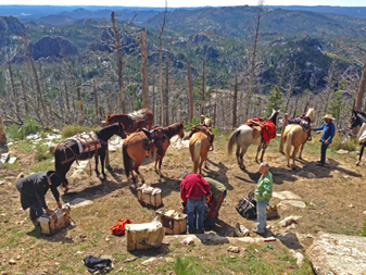
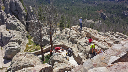
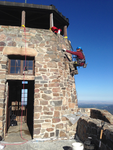
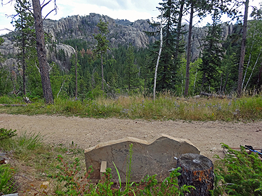
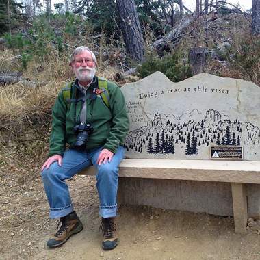
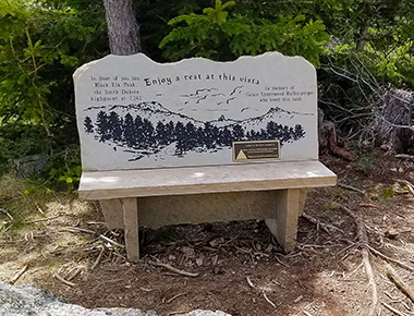
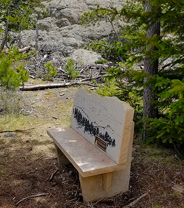
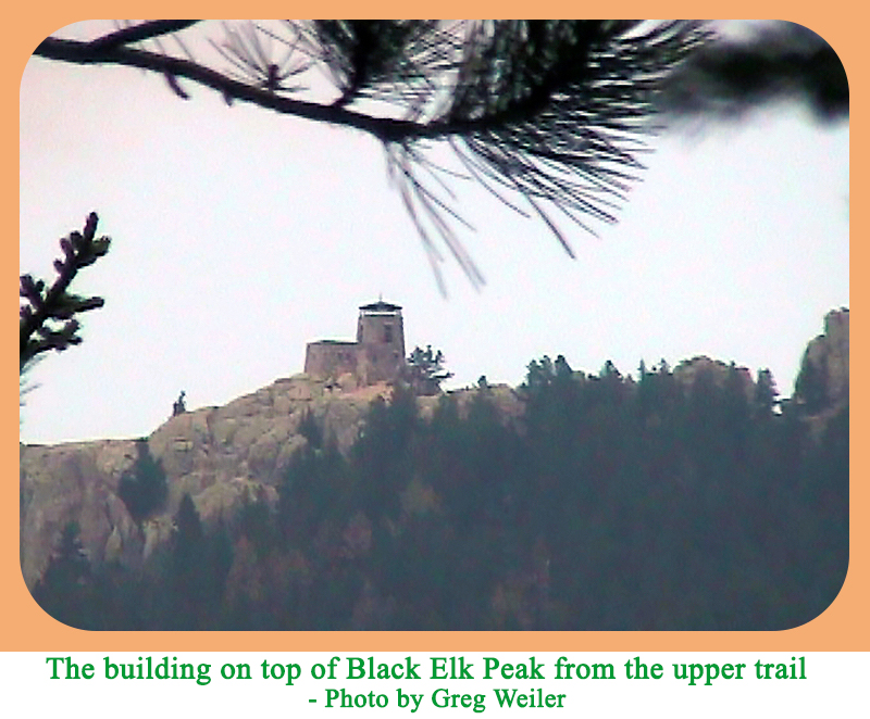
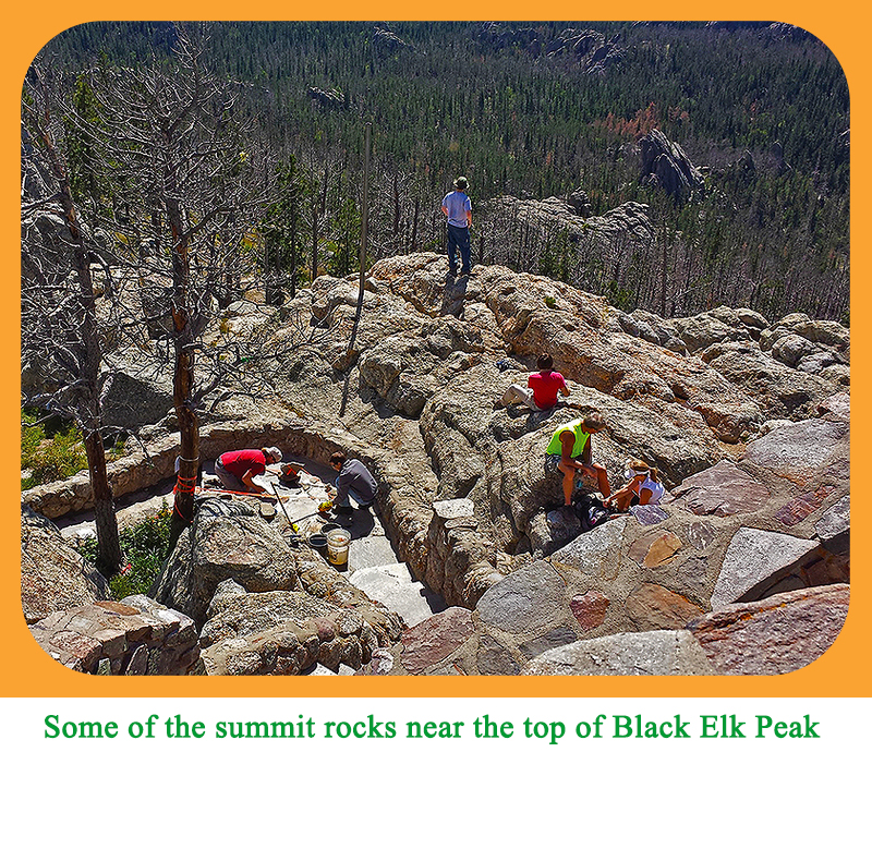
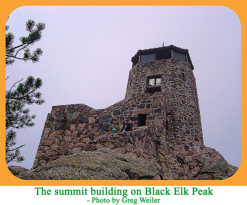
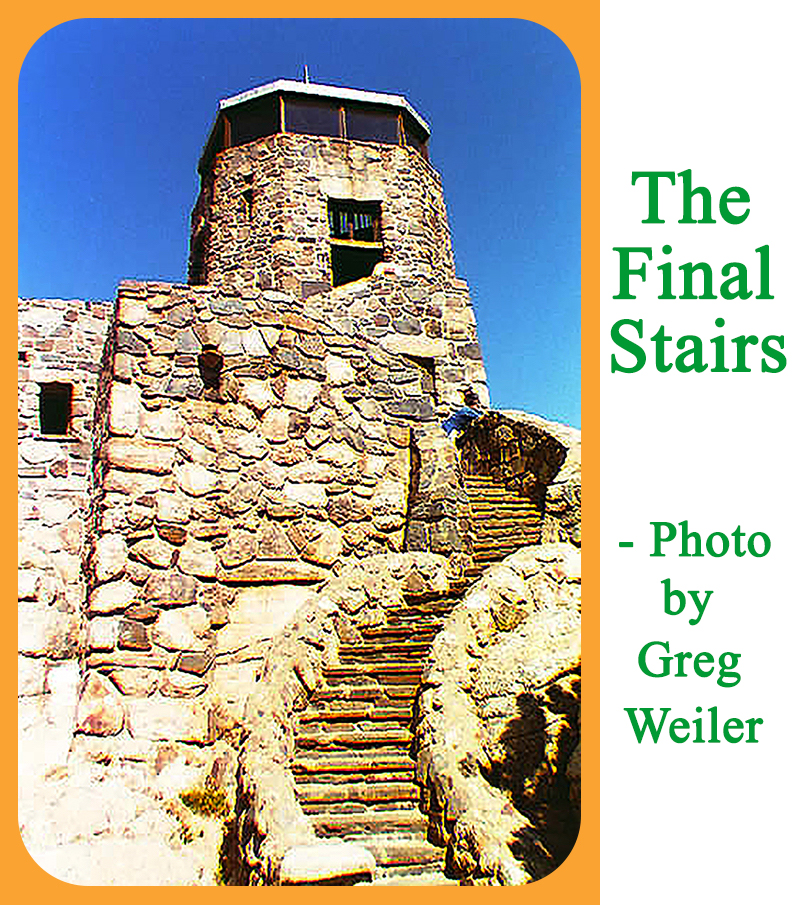
The primary hiking route up Black Elk Peak starts at the Sylvan Lake Trailhead (43.8466,-103.5601) at 6,240 feet. Thus, the minimum elvation gain required for the ascent is just over 1,000 feet, but the trail does not go continuously up, so be prepared for a round trip gain of 1,600 feet over a round trip distance of 6.8 miles. The trail reaches a building on the summit that was built in the 1930s. The highest natural rock is where the trail meets the summit building. The summit area has great views in all directions. In general, the Class 1 Black Elk summit trail is well signed at the various junctions. Many hikers choose to take a different trail on their descent. This alternate trail is farther east and goes by several rock pinnacles called the Cathedral Spires, and passes by the rock feature with the name Little Devils Tower. This alternate trail is a scenic choice.
|