State Highpoints – New York - 5,344-foot Mount Marcy
New York’s highest peak and the 21st highest US state summit, 5,344-foot Mount Marcy is located in northeast New York in the Adirondack Mountains, 130 miles north of Albany, New York. With 4,919 feet of prominence, Mount Marcy is the most prominent peak in New York. Mount Marcy is the highest peak in the Adirondacks, and it leads the list of 46 high Adirondack peaks over 4,000 feet. Many hikers accept the goal of climbing all 46 of these peaks, which is a tough challenge. There is a select group that has climbed all 46 peaks.
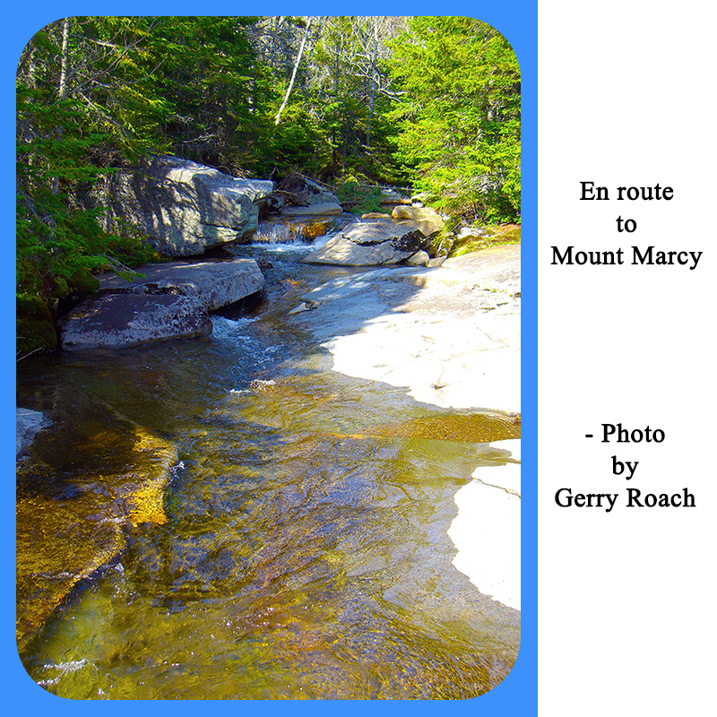
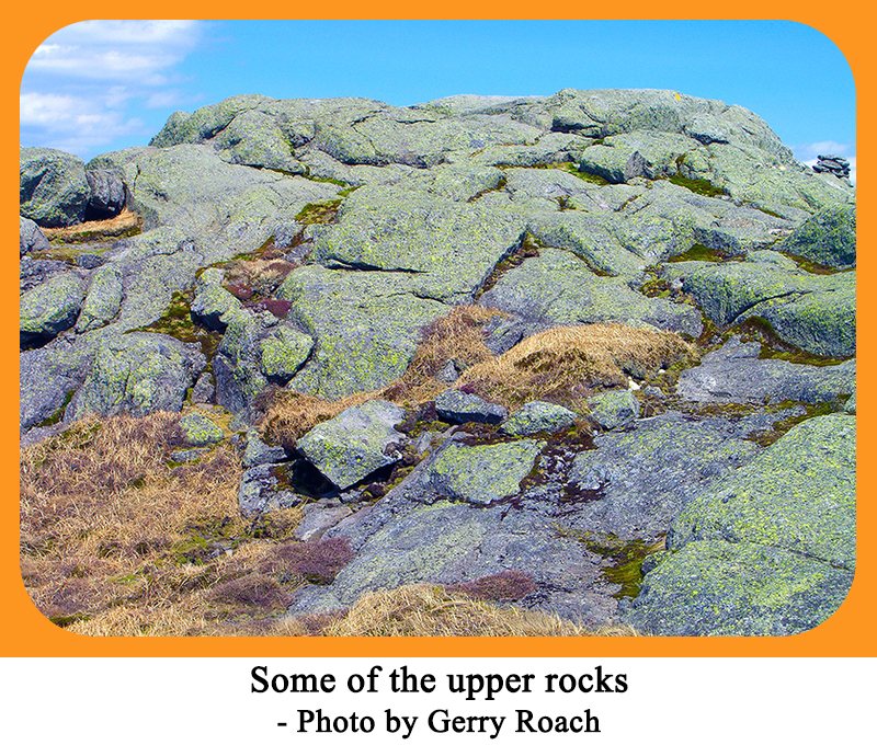
Mount Marcy requires a hefty hike of 14.8 miles roundtrip with an elevation gain of 3,166 feet. The typical hiking time is 10 hours. There is a trail most of the way, but the summit rocks provide some challenge, especially if they are wet, or worse, snowy. The trail is called the Van Hoevenberg Trail after a pioneer of the area. To reach the trailhead for this hike, go to Lake Placid, New York, which is at the junction of state roads 86 and 73. From this intersection, go 3.3 miles east on 73, and turn right on the Adirondack Lodge Road. Follow this road for 4.6 miles to the trail gate. After paying for parking, go left a short distance to the parking lot. The trailhead is at the far end of the parking lot. You will need to register your hike at the trailhead. Don’t forget to check out after you finish your hike. The Van Hoevenberg Trail is marked by blue disks nailed to the trees. Follow this trail, cross Marcy Brook after 1.9 miles, and reach Marcy Dam after 2.3 miles. The trail goes up and down during this stretch. Cross the bridge at Marcy Dam, and register your hike again. Turn right at the register then left uphill to reach the Phelps Brook stream crossing at 2.5 miles. After 3.2 miles you will pass the trail to Phelps Mountain on your left. Continue to the bridge over Phelps Brook at 3.5 miles. Cross the bridge, climb steeply to the "ski trail," turn right, and hike up the trail to another trail junction at 4.4 miles. Turn right at this junction, and continue to cross Marcy Brook again near Indian Falls. It is well worth it to take a few minutes to go view Indian Falls. Soon, you will come to another junction with the Lake Arnold Trail. Turn left, negotiate several steep sections, turn right and join the Hopkins Trail at 6.2 miles. Soon, you will be able to see the high point ahead of you. At 6.7 miles, reach the junction with the Phelps Trail on your left, turn right and climb over some rocks on the flanks of Little Marcy. These rocks can be pesky if they are wet. Above here, the trail is marked with rectangular yellow marks on the rocks. Avoid the tundra, stay on the rocks, and finish your ascent up a steep section of rock to reach the rounded summit of Mount Marcy. There is a USGS benchmark near the highpoint. You can enjoy strolling around the broad summit area to enjoy the views in all directions. |


