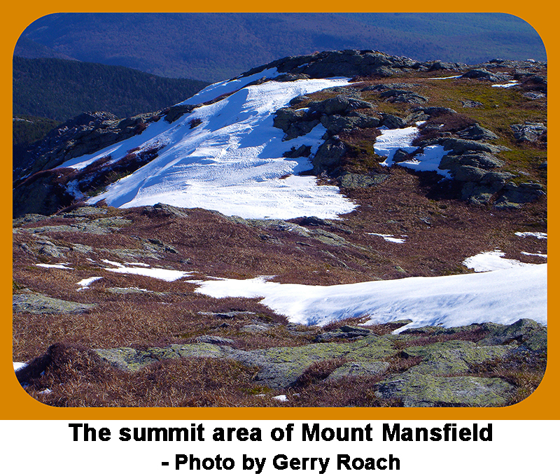
State Highpoints Vermont - 4,393-foot Mount Mansfield
Vermont’s highest peak and the 26th highest US state summit,
4,393-foot Mount Mansfield is located in the northwest portion of Vermont, about 25 miles northeast of Burlington, Vermont.
With 3,643 feet of prominence, Mount Mansfield is the most prominent peak in Vermont, and one of only three P3Ks in the state.
Mount Mansfield requires a hike, but it can be made easier if you take the Stowe Gondola Skyride or drive to the top of the auto toll road.
To reach the lower parking lots for Mount Mansfield, take Exit 10 off I-89 at Waterbury, VT, and go 9.5 miles on State Road 100 to Stowe, VT.
In Stowe, turn left onto SR 108, and go 5.8 miles to the Stowe Mountain Resort. This turn is just beyond the Cross Country Ski Center.
For the Auto Road, turn left and go to the toll gate, where you will pay a fee, then continue to the end of the toll road,
and park in the lot for the Visitor Center. For the Gondola, continue another 1.8 miles on SR 108 to the Gondola parking lot on your left.
You can purchase a Gondola ticket in the building at the base of the Gondola.
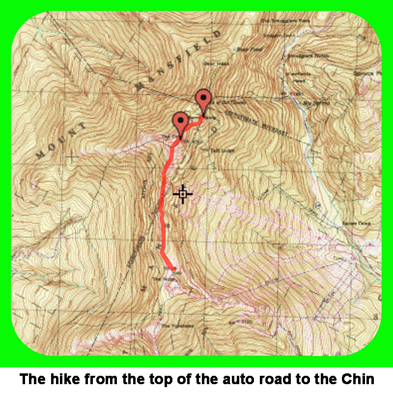
For Route 1 from the top of the Auto Toll Road, hike north up the Long Trail from the Visitor Center.
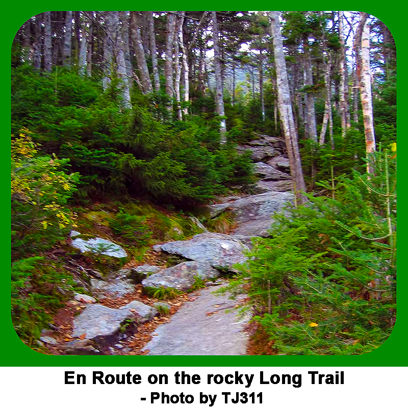
This trail is marked with white blazes bordered in red, painted on the rocks along the way. Most of this hike is on rock.
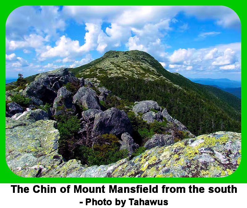
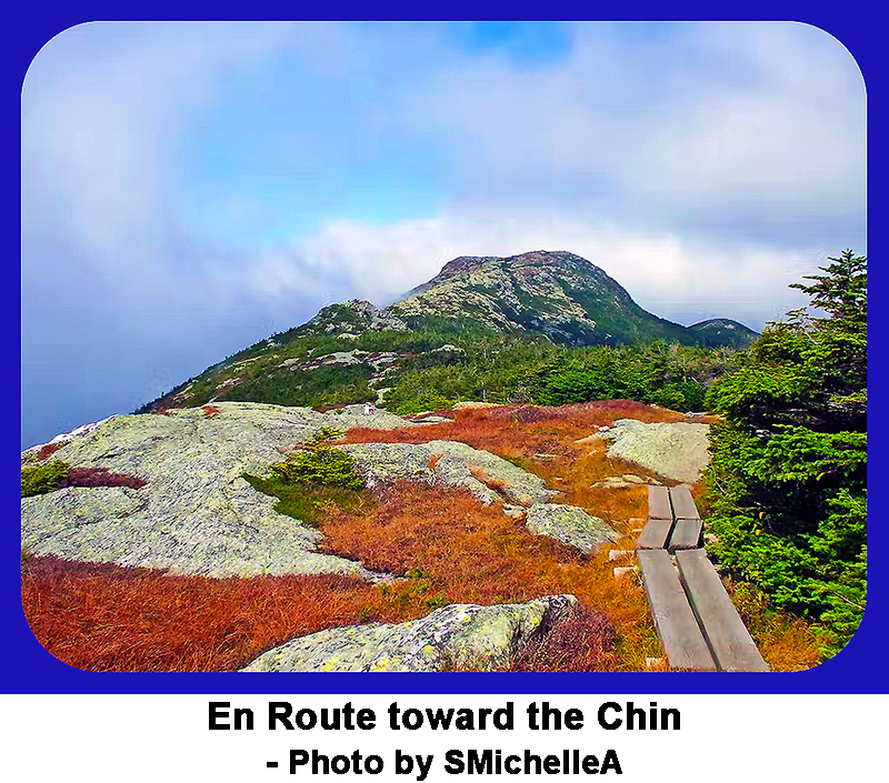
You can see the ski area to your right and Lake Champlain to your left. Hike along the ridgeline to Vermont’s highpoint, called the Chin.
The distance and elevation gain for this hike are 2.8 miles round trip and about 650 feet of elevation gain.
Features along the ridge to the Chin that you can use to mark your progress are the Forehead, the upper lip, and the lower lip.
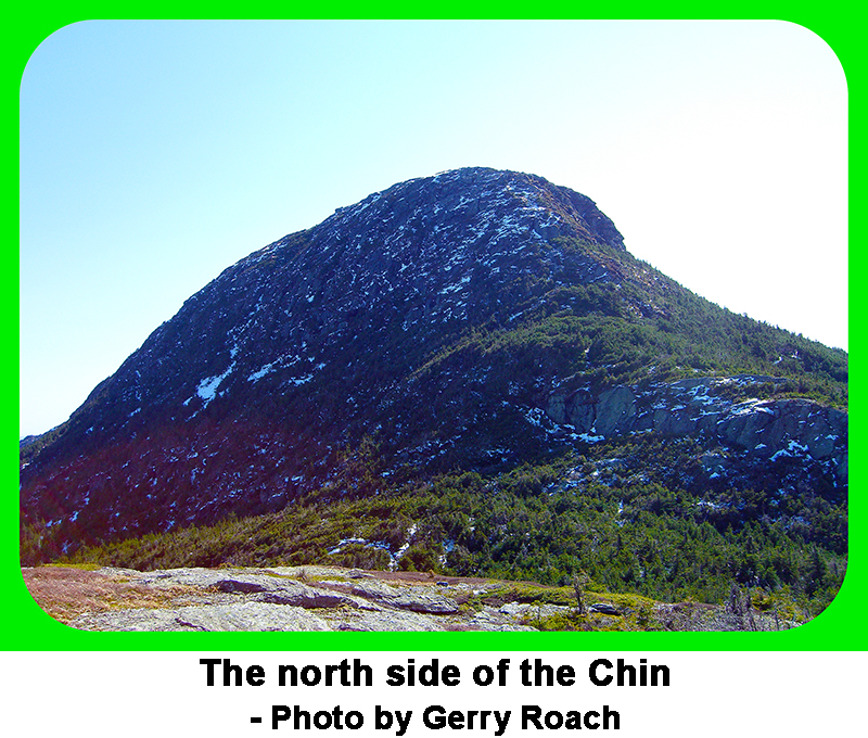
Note that the feature called the Nose is off limits. Route 2 from the top of the Gondola is shorter, but rougher.
Route 3 involves walking all the way up from the bottom, and the distance and elevation gain for this hike are 10.8 miles round trip,
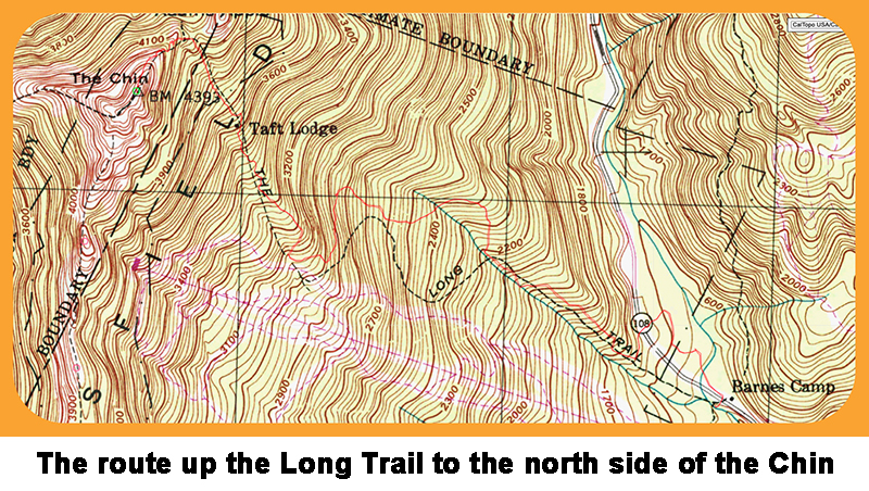
and about 3,000 feet of elevation gain. Route 4 is to use the Long Trail up to the sadlle between the Chin and Adams Apple.
You can use this route when the other trails are closed. However, if the other trails are closed, this stretch of the Long Trail will be wet.
This hike starts near SR 108 at 44.5328° 72.7898°. Hike up the steepening Long Trail to the 4,050-foot saddle between the Chin and Adams Apple.
Turn left and scamper up some rough rocks to reach the top of the Chin. Adams Apple is an obvious Extra Credit,
especially since it is the highpoint of Lamoille County. From the top of Adams Apple, you will have a good view of the north side of the Chin.
The Gondola, toll road, and other trails are often closed until Memorial Day, aka mud season. Plan accordingly. |