State Highpoints Pennsylvania - 3,213-foot Mount Davis
Pennsylvania’s highest peak and the 33rd highest US state summit,
3,213-foot Mount Davis is located near the Maryland border in the southwest part of Pennsylvania.
The best time to go to Mount Davis is in the summer, when there is no snow there. Mt. Davis is a drive up summit that is wheelchair accessible.
With only 663 feet of prominence, Mount Davis is not the most prominent peak in the state. That honor belongs to Shade Mountain that has 2,190 feet of prominence.
To reach Mount Davis, take Exit number 22 off Interstate 68 in Maryland, and go north on US 219. This exit is about halfway between Cumberland, Maryland and where I-68 crosses from Maryland into West Virginia. Go 2.5 miles north on US 219 to the Pennsylvania border. Continue north for another 2.0 miles to the town of Salisbury, PA. Turn left in Salisbury onto State Road 669 where there is a sign pointing to Mount Davis. Go 0.7 mile west on SR 669 to a T junction, and turn left. Continue on SR 669 for an additional 3.0 miles. Turn right onto road 2002 bearing right signed for Listonburg. Follow Road 2002 for 3.2 miles and turn right onto a gravel road signed for “Mt. Davis State Forest Monument.” Follow this road for 1.7 miles, pass another road on your right, and continue north following the sign for Mt. Davis. Pass a scenic overlook with a picnic table. After 2.3 miles on the gravel road, reach a stop sign, turn right, and follow the signs to the Mt. Davis parking lot. Now for your short walk to the actual highpoint.
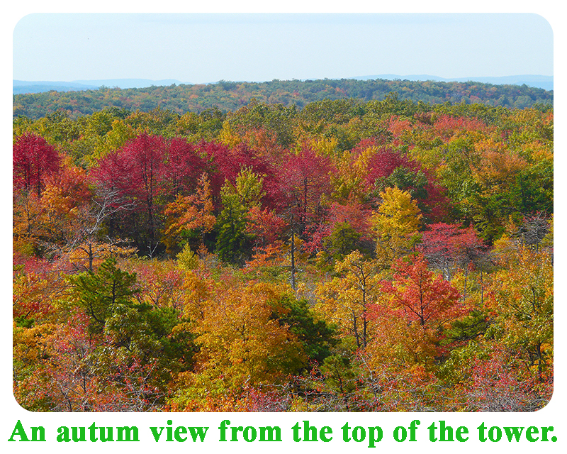
Follow the paved road, pass a gate, and reach signs describing the history of the area. You can follow the paved loop in either direction. The highpoint is a boulder in the middle of the loop. There is also an observation tower that you can climb.
|