|
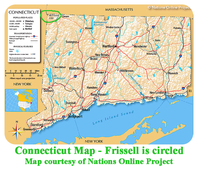
State Highpoints Connecticut - 2,380-foot Mt. Frissell S Slope Connecticut’a highest peak and the 36th highest US state summit,
2,380-foot Mount Frissell’s South Slope is located in the northwest corner of the state on the border with Massachusetts.
This is the only state highpoint that is a liner, hence the prominene is zero.
This highpoint requires a hike up to the top of Mount Frissell in Massachusetts, then a descent to the border highpoint.
The most prominent peak in Connecticut is 1,455-foot “North Preston Hill” that has 890 feet of prominence.
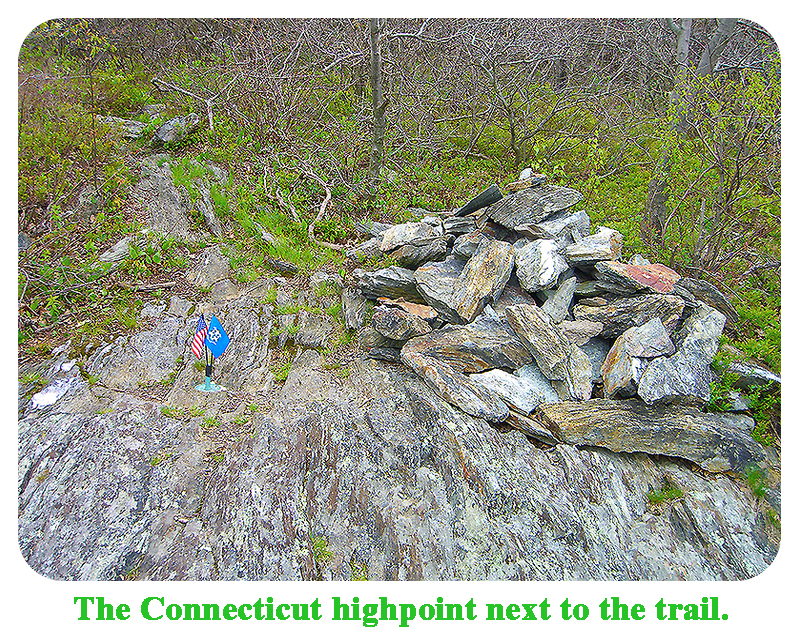
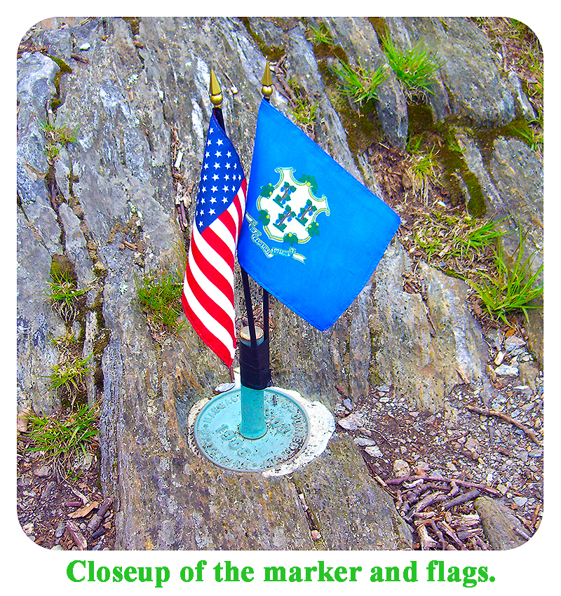
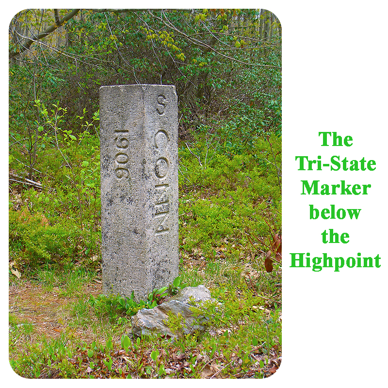
Walk from your parking spot to the state line and the old road on the northwest side of the Mt. Washington Road. Start walking up the old road. After a short distance, leave the old road and turn left on a good trail. Follow this trail, looking for red blazes on trees or rocks. About 10 minutes into your hike, you will come to the first of many steep, rocky sections. This is no longer a hand-in-pockets stroll in the woods. About 20 to 25 minutes into your hike, you will reach a large cairn on top of a rocky point. This is the top of 2,296-foot Round Mountain. Continue north and down on the best trail that leaves this summit, and look for red blazes to make sure you are on the right path. About 30 to 40 minutes into your hike, you will reach the saddle between Round Moutain and Mt. Frissell. At this point, you are still in Massachusetts. Continue on the trail to near the top of Mt. Frissell. The trail does not go to the tippy top of Mt. Frissell, but you can go there if you choose. The trail levels out and goes gently down to the west. Look sharp for a cairn on your right that marks the Connecticut highpoint. There are usually some small flags here, a marker, and a register. The trail continues down beyond this highpoint to reach the tri-state marker between Connecticut, Massachusetts, and New York. If this interests you, carry on. |
|
|
|
|
|
|