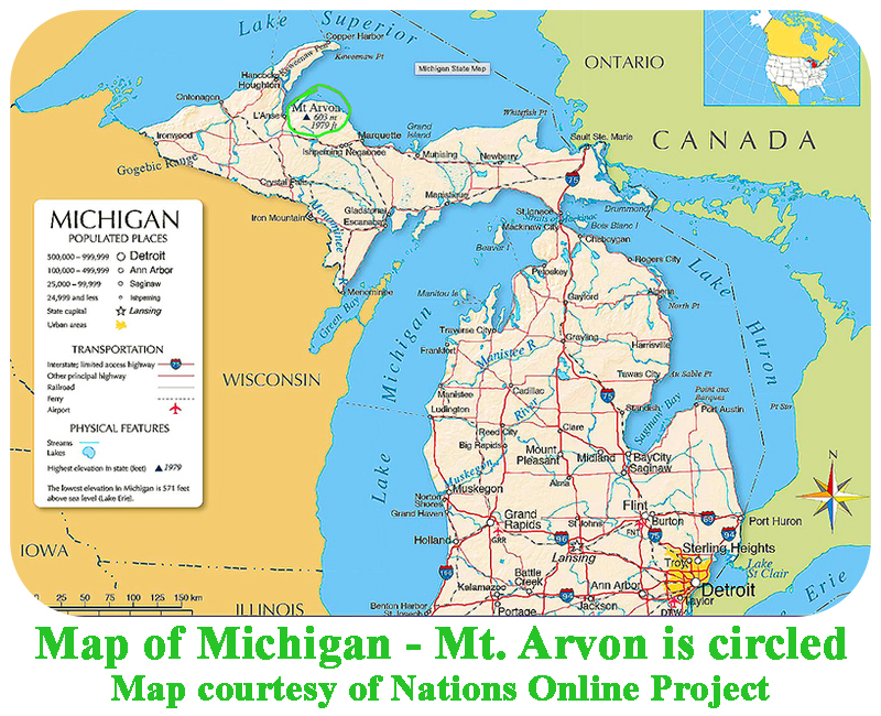
State Highpoints Michigan - 1,979-foot Mount Arvon
Michigan’s highest peak and the 38th highest US state summit,
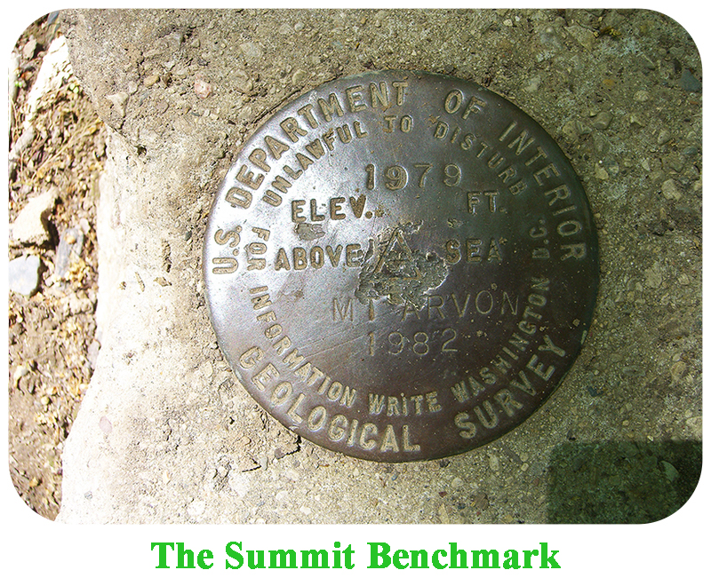
1,979-foot Mount Arvon is located in Michigan’s Upper Penninsula within sight of Lake Superior.
With 954 feet of prominence, Arvon is the second most promient peak in Michigan.
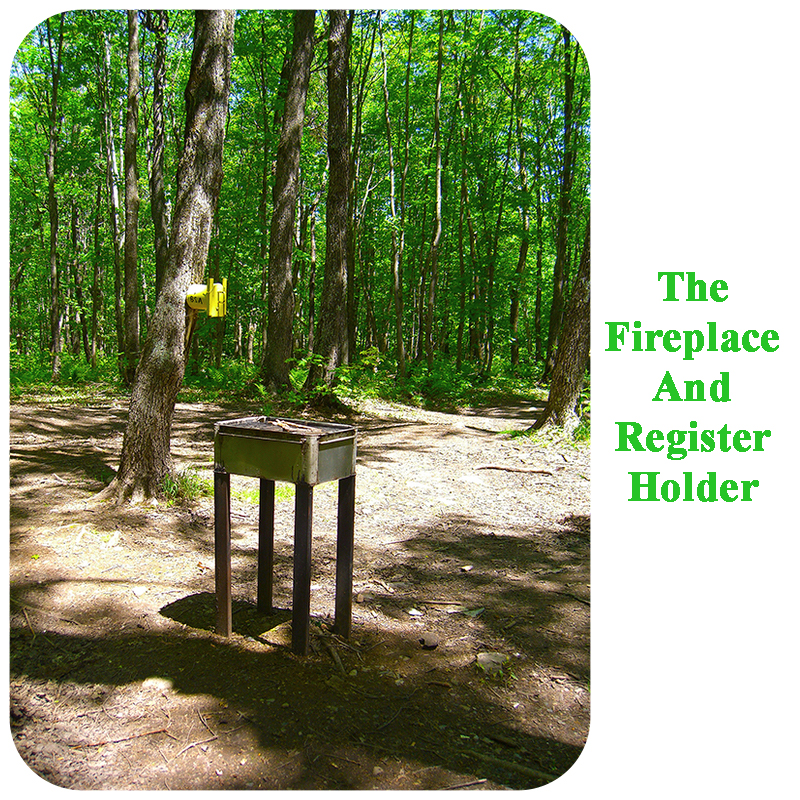
This highpoint requires a hike of less than a mile one way, with 160 feet of elevation gain.
To get to Mount Arvon by car from the west, go east from Ironwood MI on State Road 28, to Covington, MI. Continue on SR 28 for another 4 miles to a T intersection. Turn north (left) onto US 41 and go north to L’Anse, MI. If you are approaching from the south, follow US 141 north to Covington, and continue on the directions above to L’Anse. Once in L’Anse, bear right at a Y where US 41 swings to the left, drive under a welcoming sign, continue another 0.7 mile to a four-way stop at Main Street, and turn right onto Main Street. Follow Main Street, which is soon renamed to Skanee Road, for 13.7 miles to Sawmill Road, and turn right onto Sawmill Road, Go 2.5 miles on Sawmill Road, which is a good gravel road, and turn right (south) onto Roland Creek Road. Go 2.0 miles south on Roland Creek Road to a T intersection near Roland Lake. Turn right onto Ravive River Road, that you can follow to the trailhead. This road is marked with signs pointing to Mount Arvon, so it’s hard to get lost.
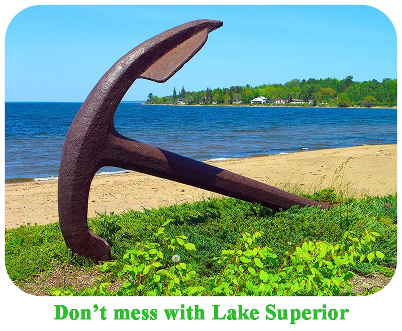
After 6.3 miles, you will be directed to turn right onto a lesser road. How far you choose to drive up this road depends on your vehicle, since it can be quite muddy after a rain. Drive as far as is comfortable, park, and then walk the remaining road to the highpoint, that is marked by a sign. Many mosquitos will greet you. There is also a bench nearby that overlooks Lake Superior. |