|
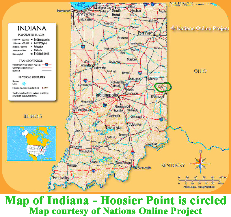
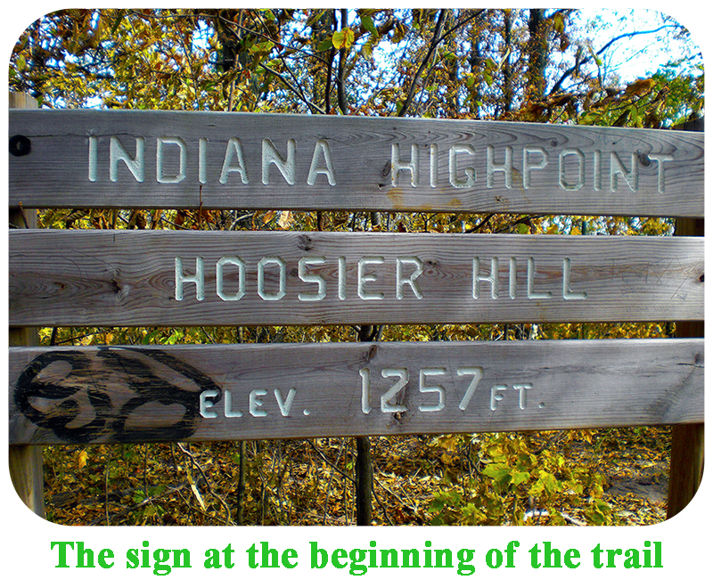
State Highpoints Indiana - 1,257-foot Hoosier Hill Indiana’s highest spot and the 44th highest US state summit,
1,257-foot Hoosier Hill is located in Indiana’s east-central quadrant, north of Richmond, and close to the Ohio border.
With 305 feet of prominence, Hoosier Hill is the fourth most prominent peak in Indiana.
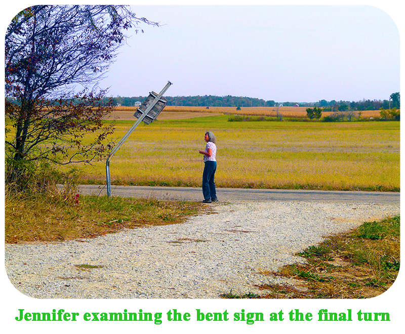
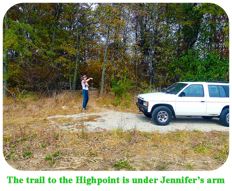
This highpoint is a near drive up, and a very short walk will take you to the highest ground.
This highpoint is wheelchair accessible to within a few feet of the Highpoint.
This Highpoint is on private property; please leave the area in better condition than you found it.
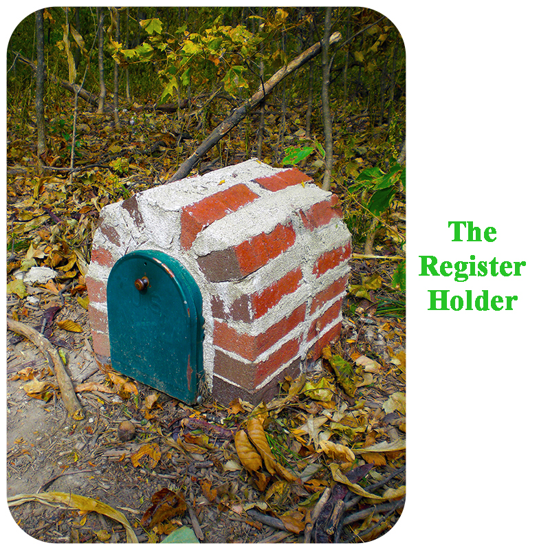
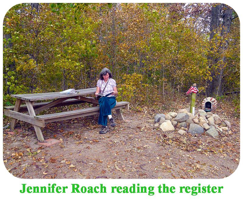
Look for a large pile of rocks on your right, and a faint trail leading into the trees. Follow this trail into the trees for a short ways, and the Highpoint will be just a few steps ahead of you in a small clearing. It has had various markers over the years. This is an intimate area. |
|
|
|
|
|
|